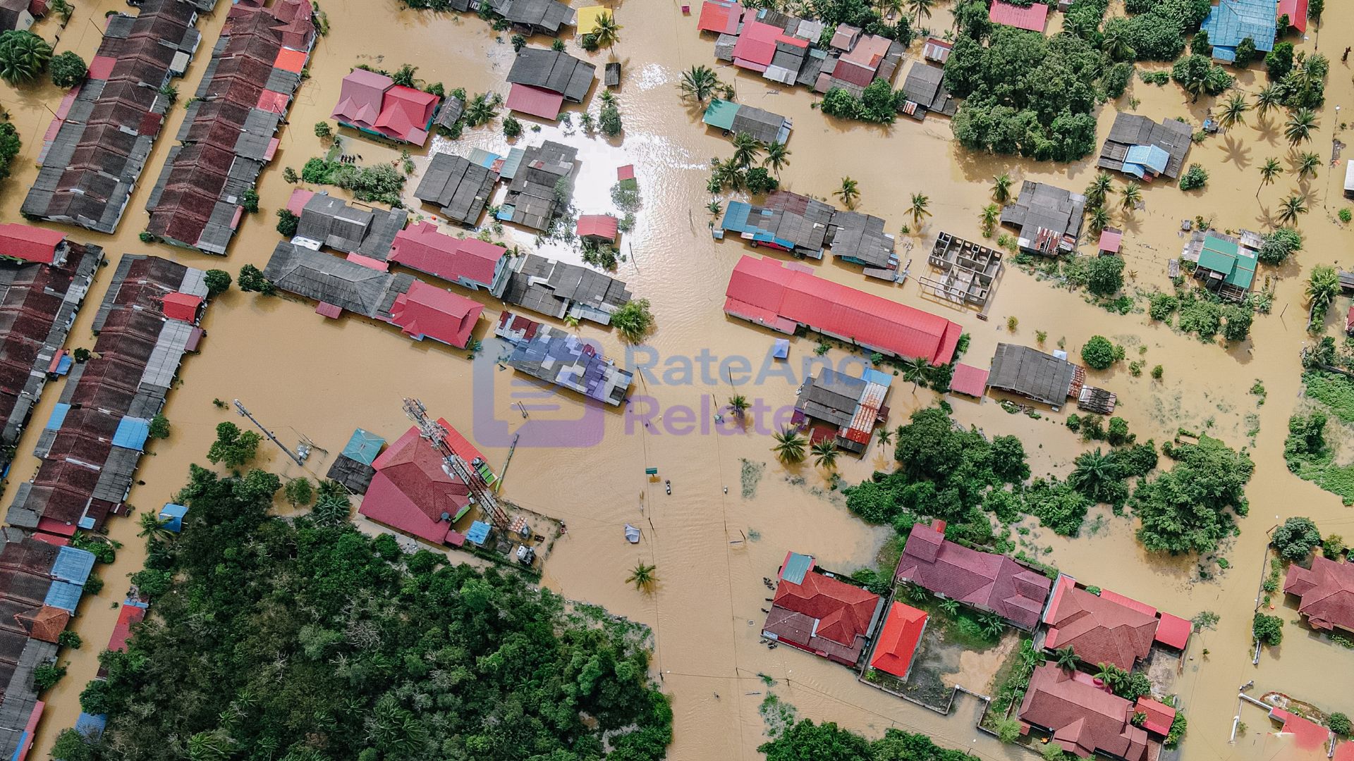

The catastrophic flash floods that tore through the Nepal-Tibet border on August 26, 2026, are far more than an isolated mountain tragedy. A massive glacial collapse unleashed an avalanche of water, ice, boulders, and debris down river valleys, claiming over 160 lives, leaving hundreds missing, and flattening vital roads, bridges, and energy infrastructure.
In my opinion, viewing transboundary Himalayan catastrophes as someone else’s problem across the border is a dangerous strategic blind spot. Actually, the Himalayas operate as a single, unbroken hydrological system where high-altitude disruptions in Tibet or Nepal directly dictate flood risks, siltation levels, and dam safety across northern and eastern India. However, until regional policymakers shift from reactive disaster relief to proactive, technology-driven risk management, downstream communities will remain permanently vulnerable.
The Himalayas Are a Shared Climate System, Not a Divided Map
Geopolitical boundaries, border fences, and customs checkpoints mean nothing to glacial runoffs, monsoonal cloudbursts, or river basins.
Every major river system feeding northern and eastern India—from the Ganga and Yamuna headwaters to the Teesta and Brahmaputra—originates in high-altitude glaciated zones. When I evaluate regional disaster management protocols, the gap is glaring:
- Glacial Detachments & GLOFs: Rising high-altitude temperatures do not just melt ice gradually; they destabilize hanging glaciers and expand fragile moraine-dammed glacial lakes.
- Sediment & Debris Surges: High-velocity debris flows carry millions of tons of boulders and silt, which choke downstream reservoirs, damage turbine blades, and cause flash flooding in river valleys.
- Downstream Domino Effects: A dam failure or river blockage in an upstream valley in Nepal or Tibet can trigger catastrophic surges across Indian border states within hours.
Actually, global heating is not just raising seasonal temperatures—it is fundamentally destabilizing the geological and hydrological equilibrium of the entire mountain range.
Why Traditional Flood Forecasting Actually Fails in High Altitudes
Traditional flood forecasting in the plains relies primarily on rain gauges and river level telemetry. In my opinion, applying low-altitude forecasting methods to high-altitude mountain hazards is completely ineffective.
Glacial collapses, rock avalanches, and Glacial Lake Outburst Floods (GLOFs) happen within minutes, often without widespread rainfall. However, combining modern space technology with artificial intelligence makes real-time monitoring entirely achievable:
Proactive Monitoring vs. Legacy Disaster Management
| Core Focus Area | Legacy Disaster Response | Modern Proactive Climate Resilience |
| Hazard Detection | Manual water-level river gauges | Satellite SAR, thermal sensors, & high-altitude AI imaging |
| Glacial Lake Audits | Sporadic annual aerial surveys | Continuous autonomous satellite telemetry & lake volume tracking |
| Downstream Alerts | Delayed administrative phone trees | Automated siren arrays & geo-fenced mobile emergency broadcasts |
| Civil Infrastructure | Rebuilt to historical 50-year flood specs | Engineered for compound hazards, GLOFs, & heavy debris loads |
Re-Engineering Mountain Infrastructure and Hydropower
The widespread destruction of roads, bridges, and power facilities across the Nepal-Tibet border highlights an urgent economic risk for India’s Himalayan states—including Uttarakhand, Himachal Pradesh, Sikkim, Arunachal Pradesh, and Jammu & Kashmir.
In my opinion, simply rebuilding washed-out bridges and highways to legacy engineering standards is an expensive exercise in futility. Actually, our infrastructure design philosophy must change:
- De-Risking Hydropower: Run-of-the-river dams and reservoir spillways must be engineered with massive silt-flushing bypass tunnels and automated gates capable of handling sudden glacial surges.
- Climate-Proofing Transit Corridors: Strategic highways, pilgrimage routes, and border roads must integrate reinforced slope stabilization, geo-synthetic netting, and elevated viaducts rather than unstable cut-and-fill roads.
- Zoning Mountain Settlements: Enforcing strict, non-negotiable construction buffer zones along active river floodplains and alluvial fans.
Transboundary Data Sharing Cannot Stop at Borders
Disaster response cooperation between neighboring countries during an emergency is commendable, however, post-disaster humanitarian aid should not be the primary mechanism of regional cooperation.
In my opinion, India, Nepal, Bhutan, and China must establish an institutionalized, real-time hydrological data-sharing protocol. Real-time telemetry from high-altitude Tibetan lakes and Nepalese river basins gives downstream Indian authorities hours—rather than minutes—to evacuate towns, drain downstream reservoirs, and protect critical electrical grids.
Final Thoughts
The Nepal-Tibet disaster is a stark warning that climate change in the mountains is no longer a distant projection—it is an active, fast-moving reality.
In my opinion, waiting for floodwaters to cross our borders before sounding emergency sirens is a failed strategy. However, when we unite satellite-driven AI surveillance, cross-border hydrological intelligence, and climate-hardened infrastructure standards, mountain hazard management transforms from a tragic guessing game into a resilient defense system. Actually, building Himalayan climate resilience is no longer just an environmental talking point—it is a vital pillar of India’s long-term economic stability and national security!