Wildfires today are faster, more destructive, and harder to predict than ever before. Climate change, rising temperatures, prolonged droughts, and expanding human settlements have created conditions where even a small spark can grow into a massive disaster within minutes. In such situations, early detection becomes the most crucial factor in preventing widespread destruction.
Traditional methods—like watchtowers, patrol teams, and public alerts—are limited by human visibility and response time. Many fires burn undetected for hours, especially in remote or forested regions. Satellites have changed this reality completely. Orbiting high above Earth, they provide continuous, global eyes capable of spotting fires at their earliest stages. In many cases, satellite alerts are the first signal that a fire has begun.
Why Early Detection Saves Lives
Wildfires destroy millions of acres of land each year, along with homes, wildlife habitats, crops, and infrastructure. They also cause severe health impacts due to smoke pollution. Quick detection allows authorities to:
- Respond before fires grow uncontrollably
- Evacuate people in danger
- Protect critical infrastructure
- Reduce economic damage
- Save natural ecosystems
Satellites are now central to early-warning systems in many countries.
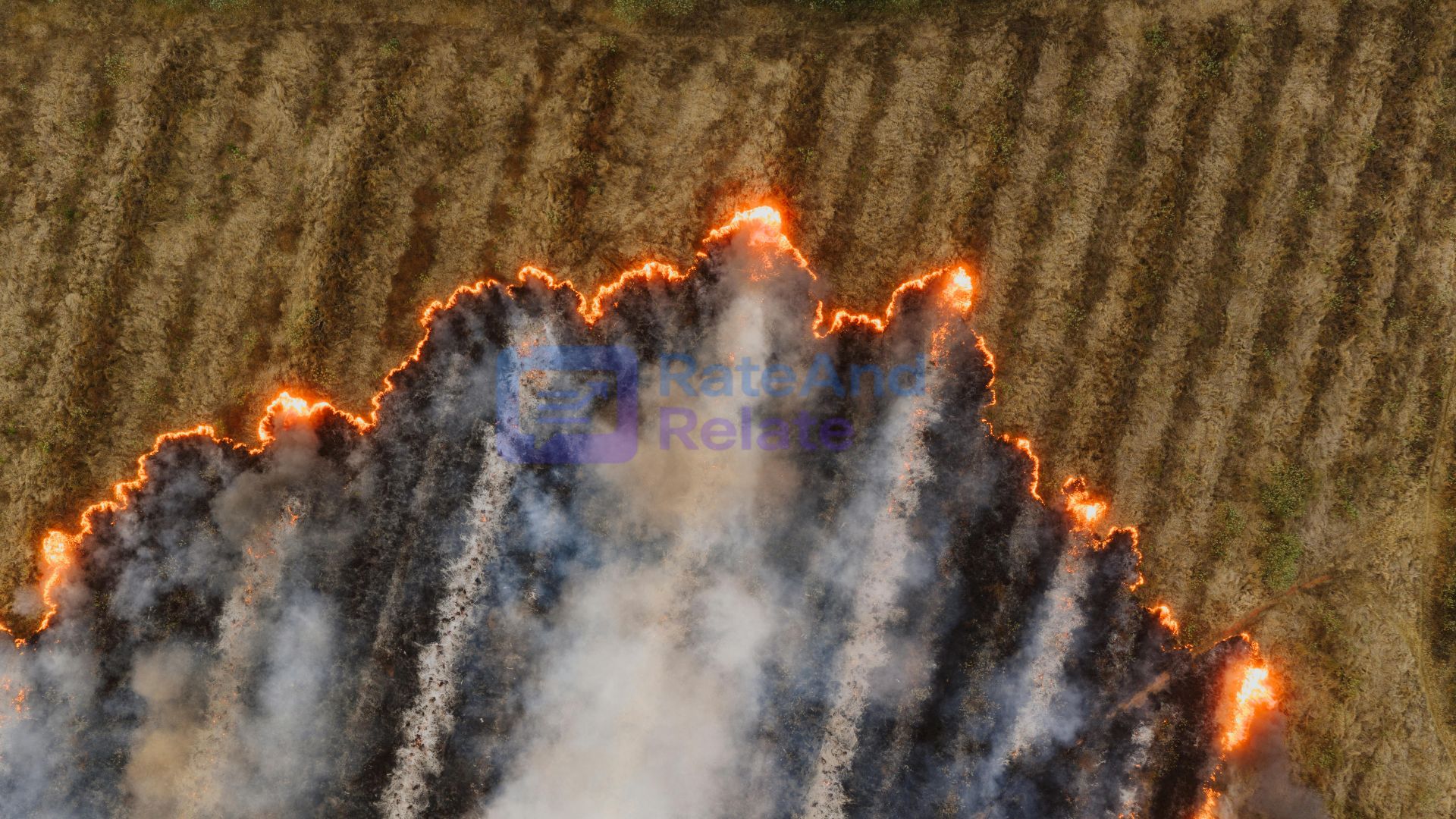
How Satellites Detect Wildfires
1. Thermal Infrared Imaging
Satellites like NASA’s MODIS and VIIRS detect heat signatures on the ground. Even small increases in temperature—such as a smouldering patch of grass—can be seen from space.
Advantages:
- Works day and night
- Detects fires through smoke
- Captures early ignition points
This is often the first alert received by fire agencies.
2. Smoke and Aerosol Tracking
Satellite sensors can see smoke plumes, particle density, and gases like carbon monoxide. This helps identify:
- How fast the fire is spreading
- Air-quality risks for nearby towns
- Regions needing evacuation or medical support
These insights help protect public health.
3. High-Resolution Optical Imaging
Optical satellites take detailed images in visible and near-infrared light. They reveal:
- Active fire lines
- Burned areas
- Vegetation levels
- Terrain features affecting spread
This information is used by on-ground firefighting teams for planning operations.
4. Lightning Detection
Many wildfires start from lightning. Satellites with lightning sensors track every strike, helping predict potential fire zones even before a flame appears.
Real-Time Alerts and Response
Once a hotspot is detected, satellite data is quickly sent to:
- Fire departments
- Disaster-response agencies
- Forest authorities
- Emergency alert systems
- Public-warning apps
In many countries, communities receive alerts within minutes. This quick delivery helps firefighters take action before the situation becomes uncontrollable.
Examples of Satellite Impact
Australia’s 2019–2020 Bushfires
Satellite systems detected dozens of fires in remote zones, enabling early intervention and saving thousands of acres from burning.
California Wildfire Seasons
NASA’s FIRMS platform provides continuous updates used daily by fire agencies, helping them locate new hotspots and track active fires.
Amazon Rainforest
Satellites exposed illegal burning and large-scale deforestation, pressuring authorities to enforce environmental protection measures.
Predicting Future Fire Risks
Modern satellites help not only with detection but also with prediction. By tracking soil moisture, vegetation dryness, temperature patterns, and historical fire zones, AI models can forecast areas at high risk. This helps governments prepare resources before fires break out.
Role of Artificial Intelligence
AI enhances satellite fire detection by:
- Reducing false alarms
- Tracking fire movements in real time
- Predicting spread direction
- Identifying safe evacuation routes
- Improving firefighting strategies
This combination of AI and satellite data transforms raw images into life-saving decisions.
The Future of Space-Based Fire Monitoring
Upcoming technologies will make wildfire detection even more precise:
- Affordable CubeSat constellations
- Hyperspectral sensors detecting chemical signatures
- Continuous monitoring from geostationary satellites
- Automated, instant alert systems
- Laser-based temperature sensing
These tools will drastically reduce detection time, helping firefighters respond faster than ever before.
Wildfires will continue to pose a major threat in a warming world, but satellites have become one of humanity’s strongest defences. From heat detection and smoke tracking to predictive modelling and AI-driven analysis, space technology is transforming how we fight fires on Earth.
Early detection saves lives—and satellites ensure that no fire goes unnoticed.